E4 Trail Mt.Taygetus, 23-27 September 2024

E4 Trail Mt.Taygetus, 23-27 September 2024

... conquer the highest mountain range in the Peloponnese

ACTIVE PERIOD
Late April to October
Fixed departure: 23-27 September 2024
DIFFICULTY LEVEL
2
DURATION
5 days
E4 Trail Mt.Taygetus, 23-27 September 2024
Price from €520
PRICE FROM € 520 - BOOK NOW!

Overview

Our E4 Trail Mt.Taygetus Self Guided tour concentrates on the Great Mountain Taygetus and a total of  52Km’s. From Sparta, we hike on the European Trail E4, a route combining history and mountaineering. We enjoy a fascinating insight into the history of the Byzantine city of Mystras and then on well-marked trails we hike up to Taygetus summit at an altitude of 2,404 meters. Crossing the forest of Vasiliki and passing through some remote villages we end to Arna village.

See the itinerary map here.

Day 1
Arrival in Sparte – Mystras Castle Tour
Day 2
Mystras – Anavryti
Day 3
Anavriti – EOS Refuge
Day 4
EOS Refuge – Mt Taygetos Summit
Day 5
EOS Refuge – Arna Village

Activities / Schedule

Arrival in Sparte – Mystras Castle Tour

Arrive at Sparta and settle to your hotel in Mystras.

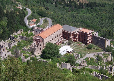
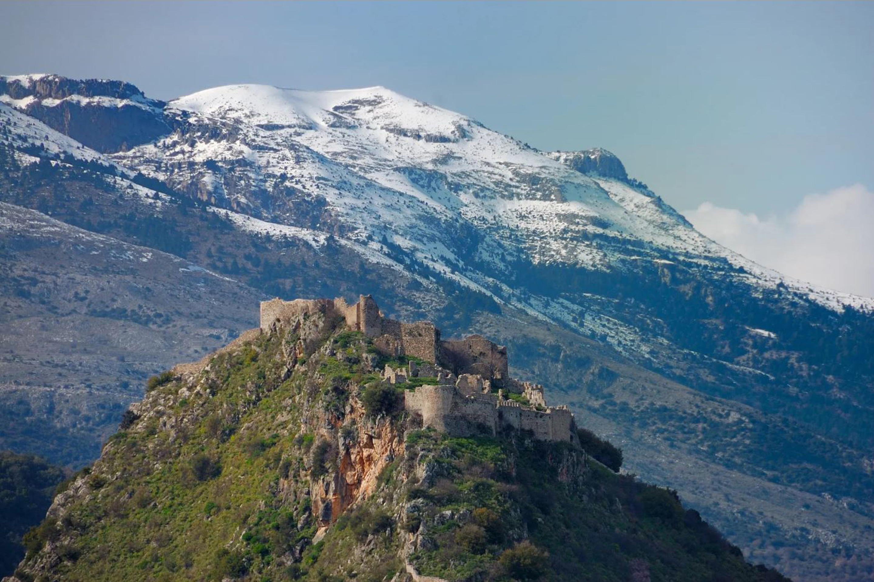
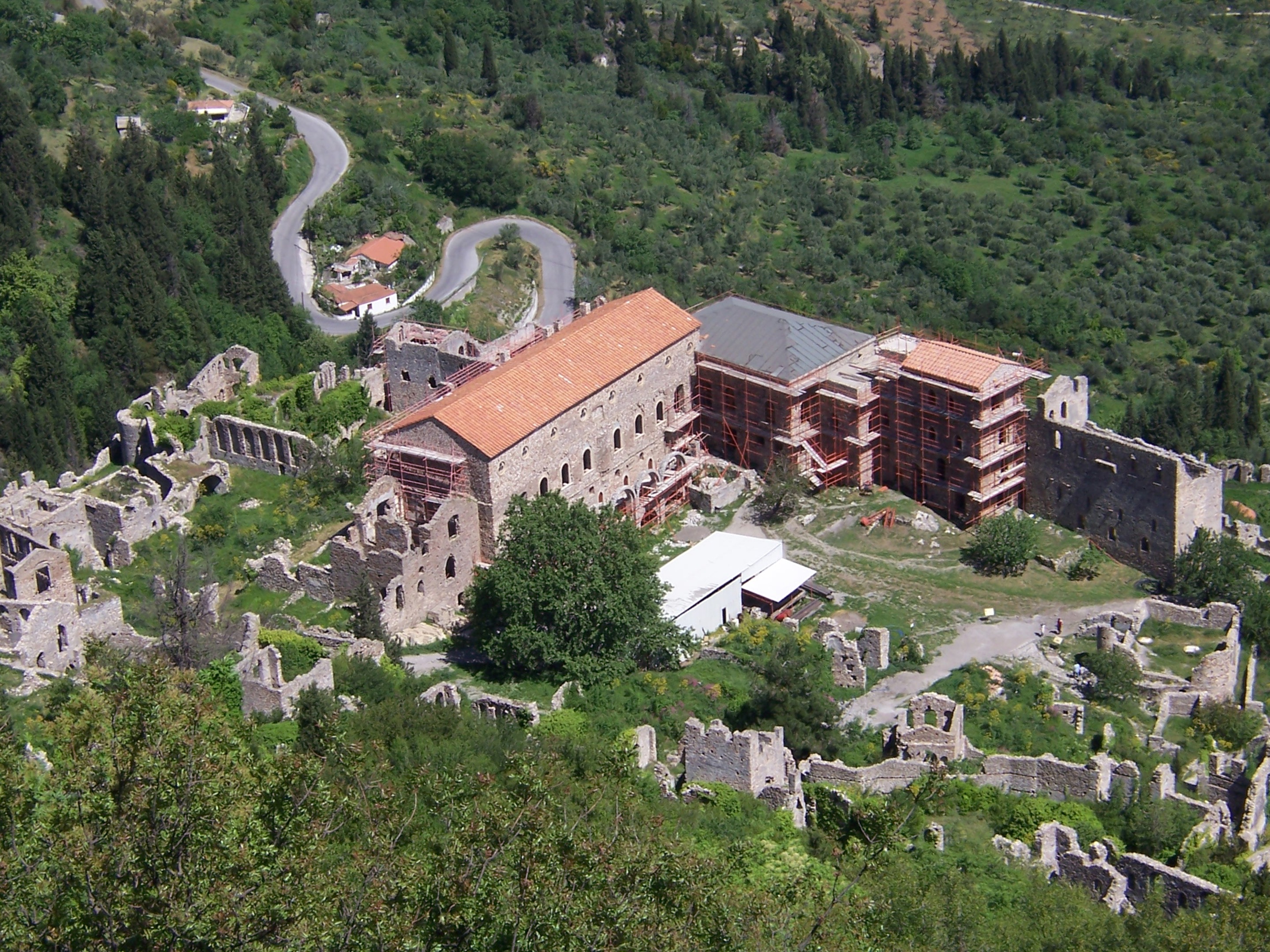
Spend the rest of your day, sightseeing hiking the Mystra Byzantine citadel.

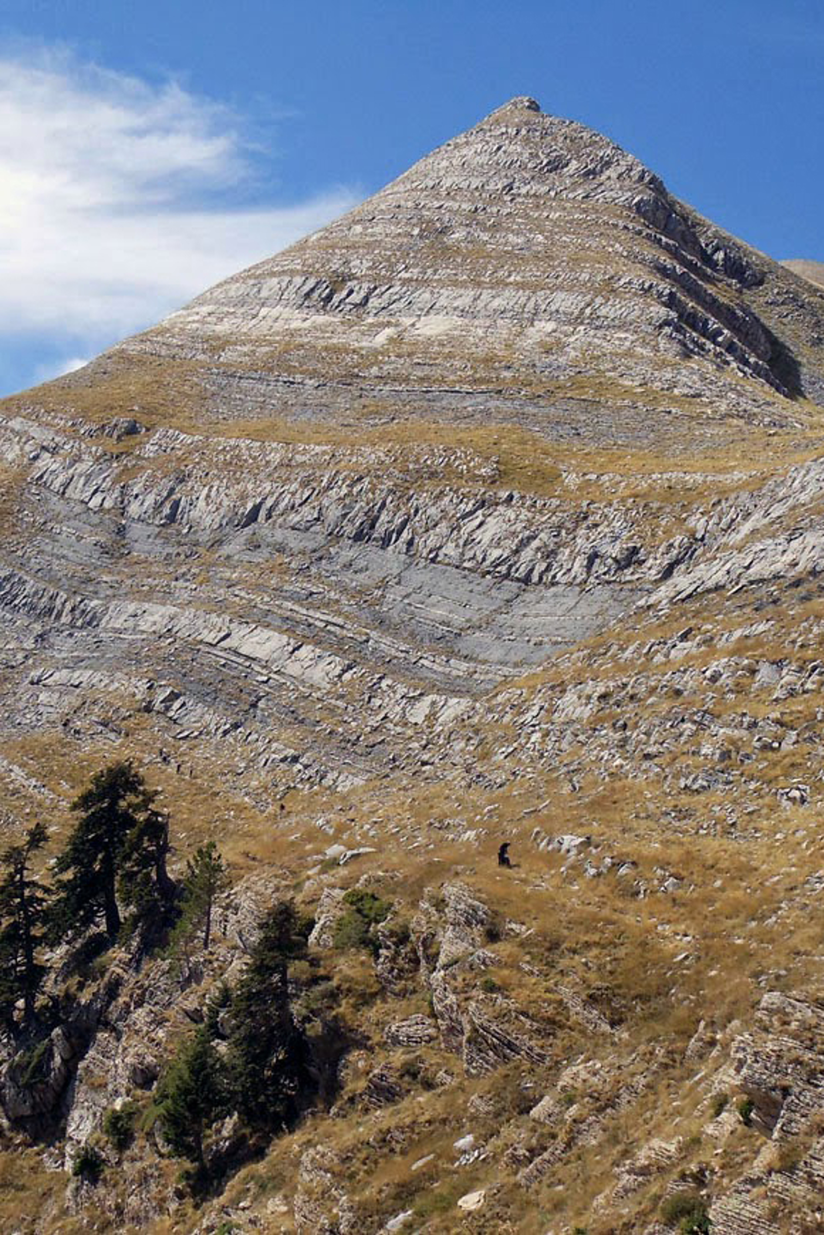
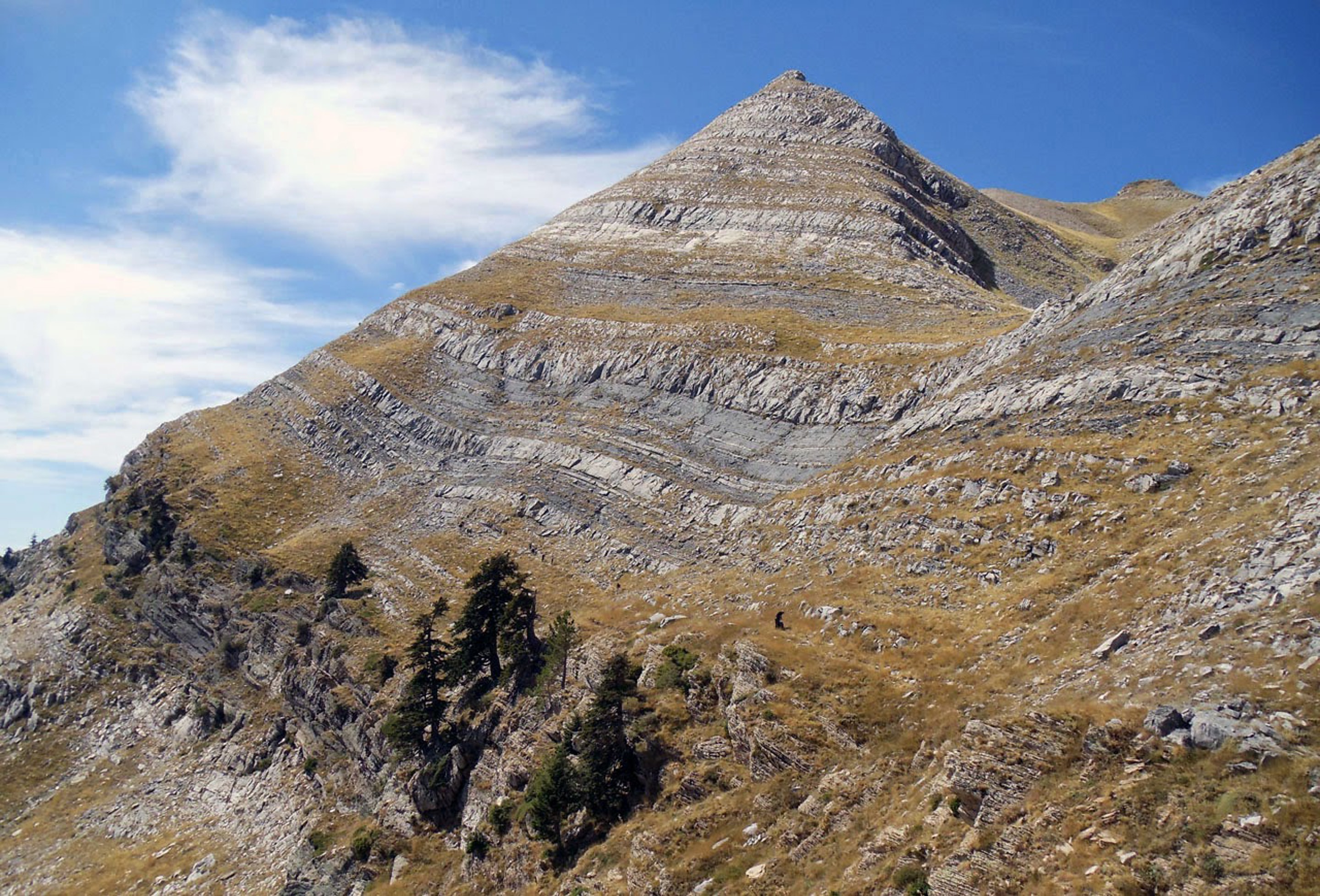
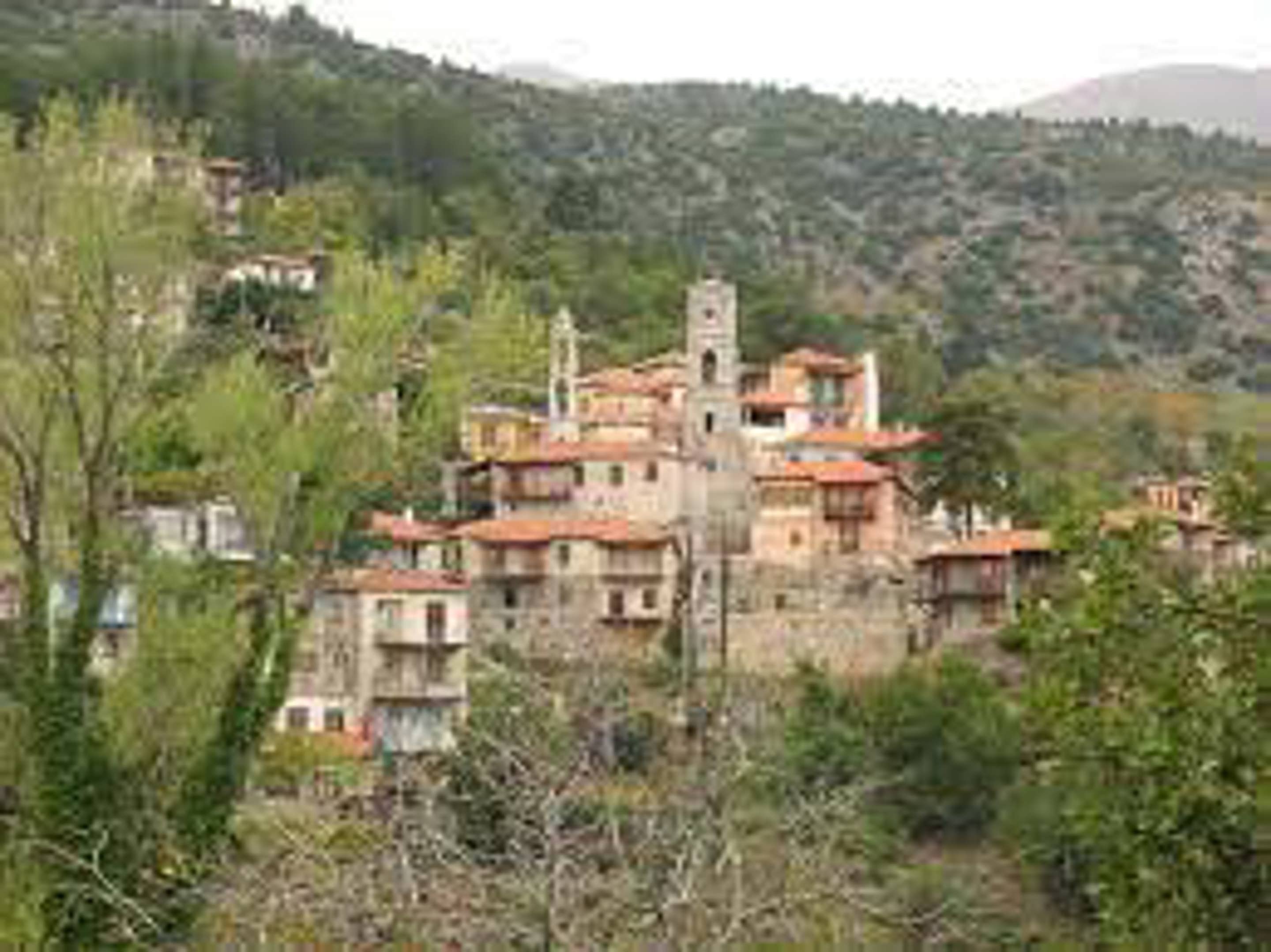
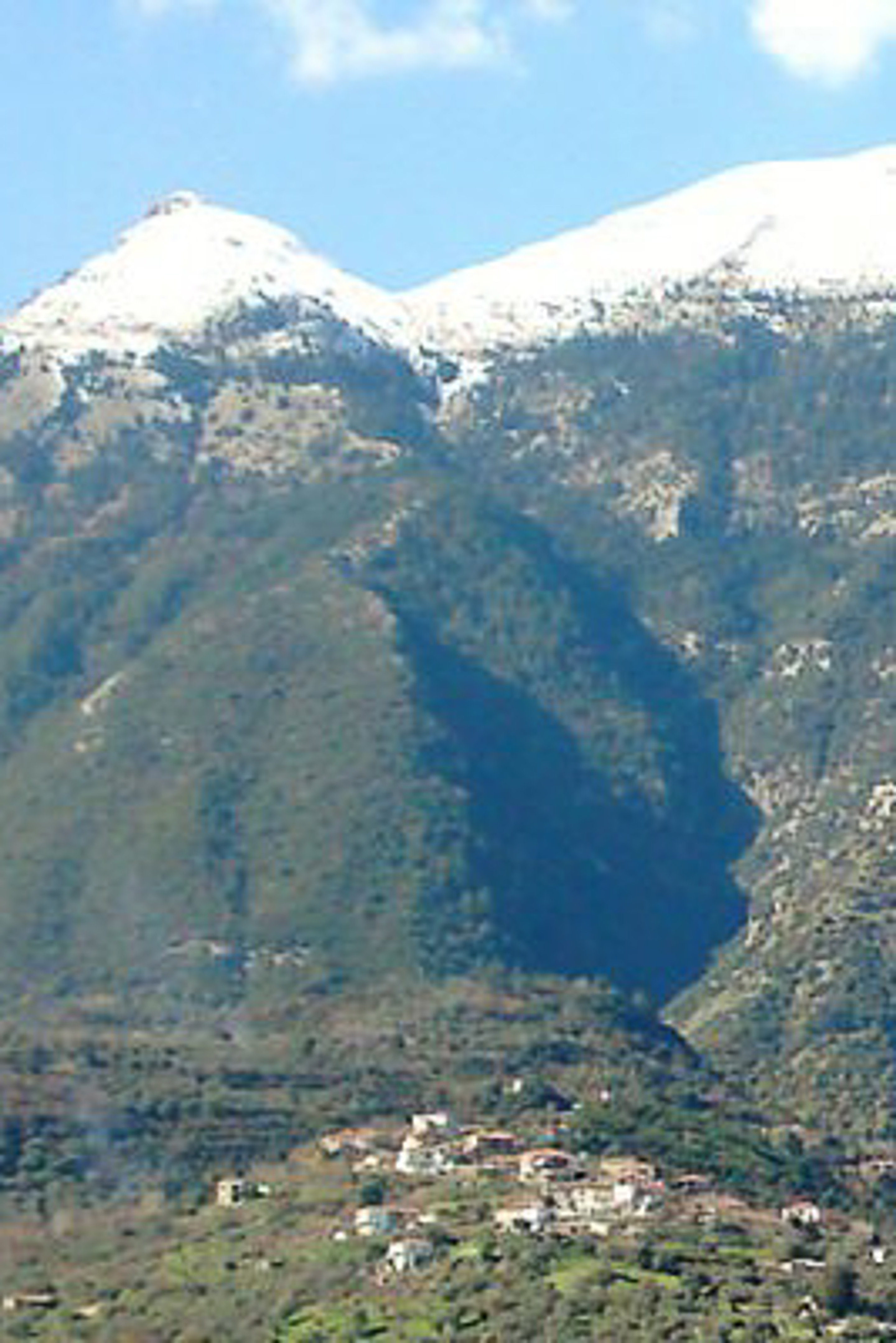
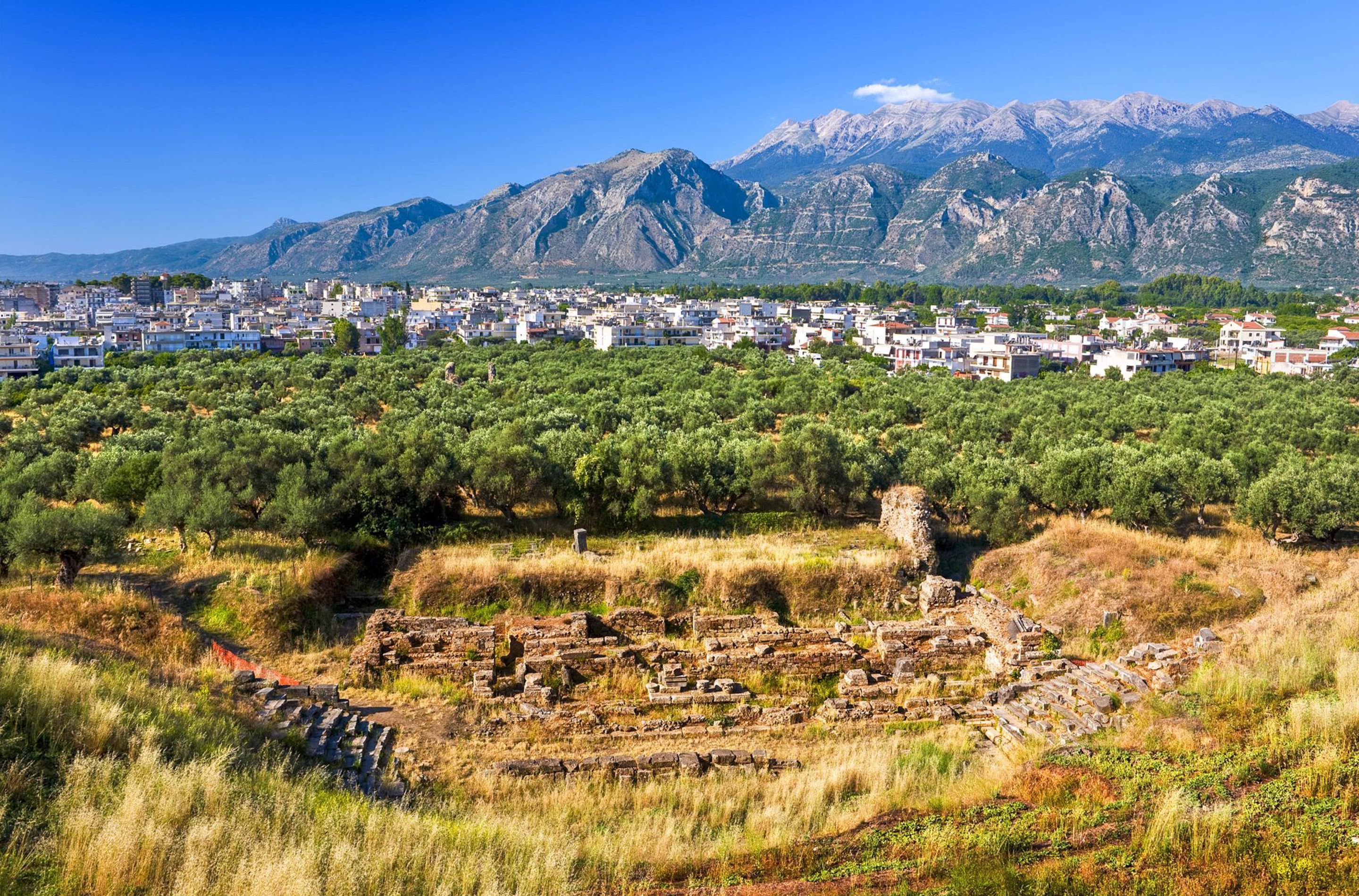
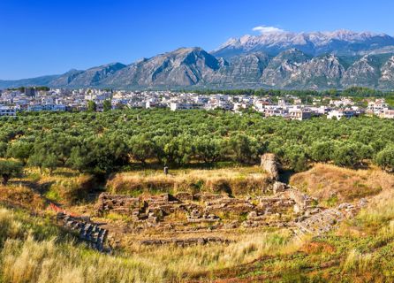
Mystras or Mistras (Greek: Μυστράς), is a fortified medieval town in Laconia, Peloponnese, Greece. Situated on the slopes of Mt. Taygetos, near ancient Sparta, it served as the capital of the Byzantine Despotate of the Morea in the 14th and 15th centuries, experiencing a period of prosperity and cultural flowering. The site remained inhabited throughout the Ottoman period, when it was mistaken by Western travelers for ancient Sparta. In the 1830s, it was abandoned and the new town of Sparti was built, approximately eight kilometers to the east. The archaeological site stands above the modern village of Mystras and the city of Sparta. The forests surrounding the area are composed mainly of pine trees and cypresses. Many small rivers are found in the region.
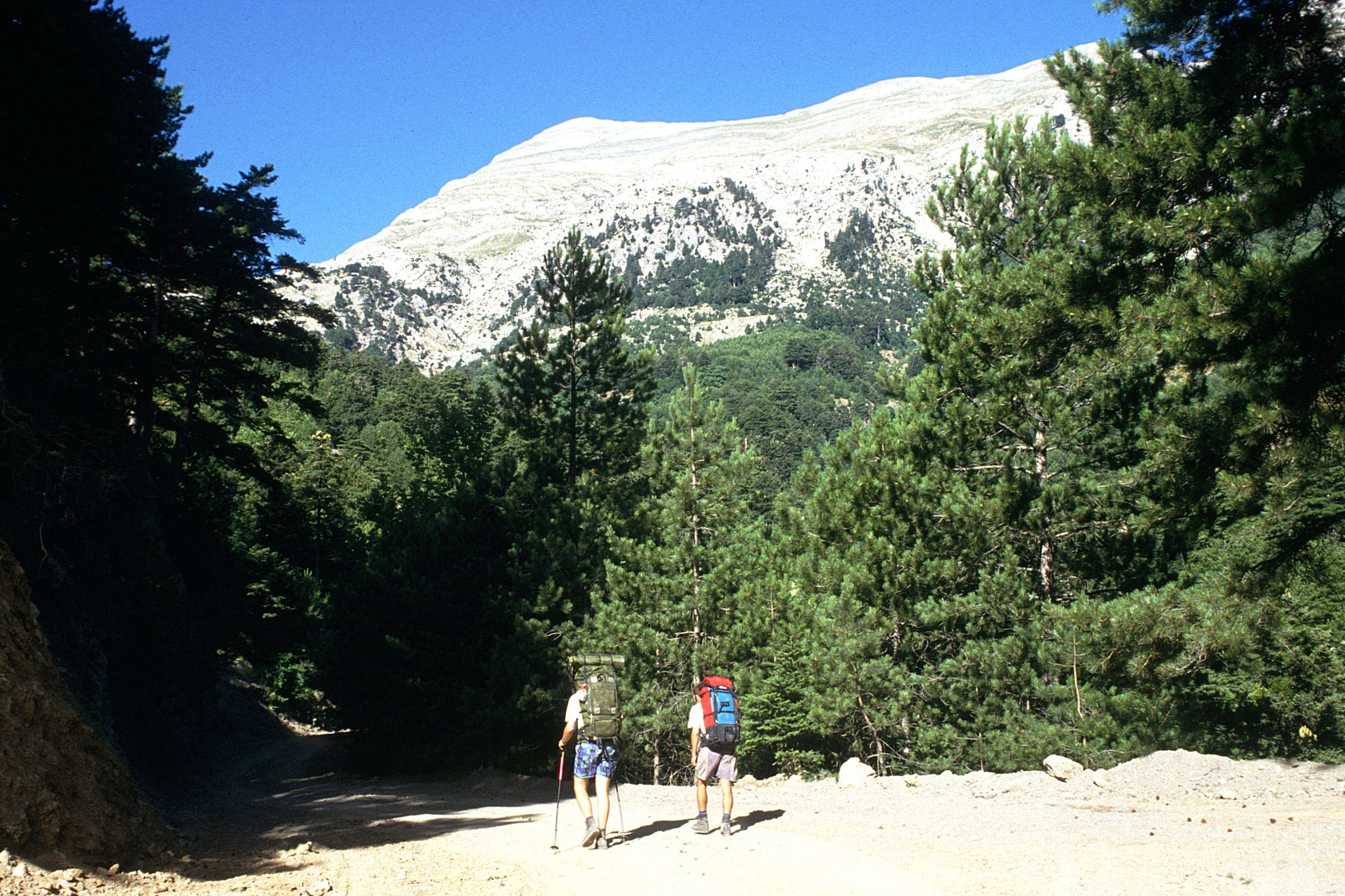
Hiking Details:

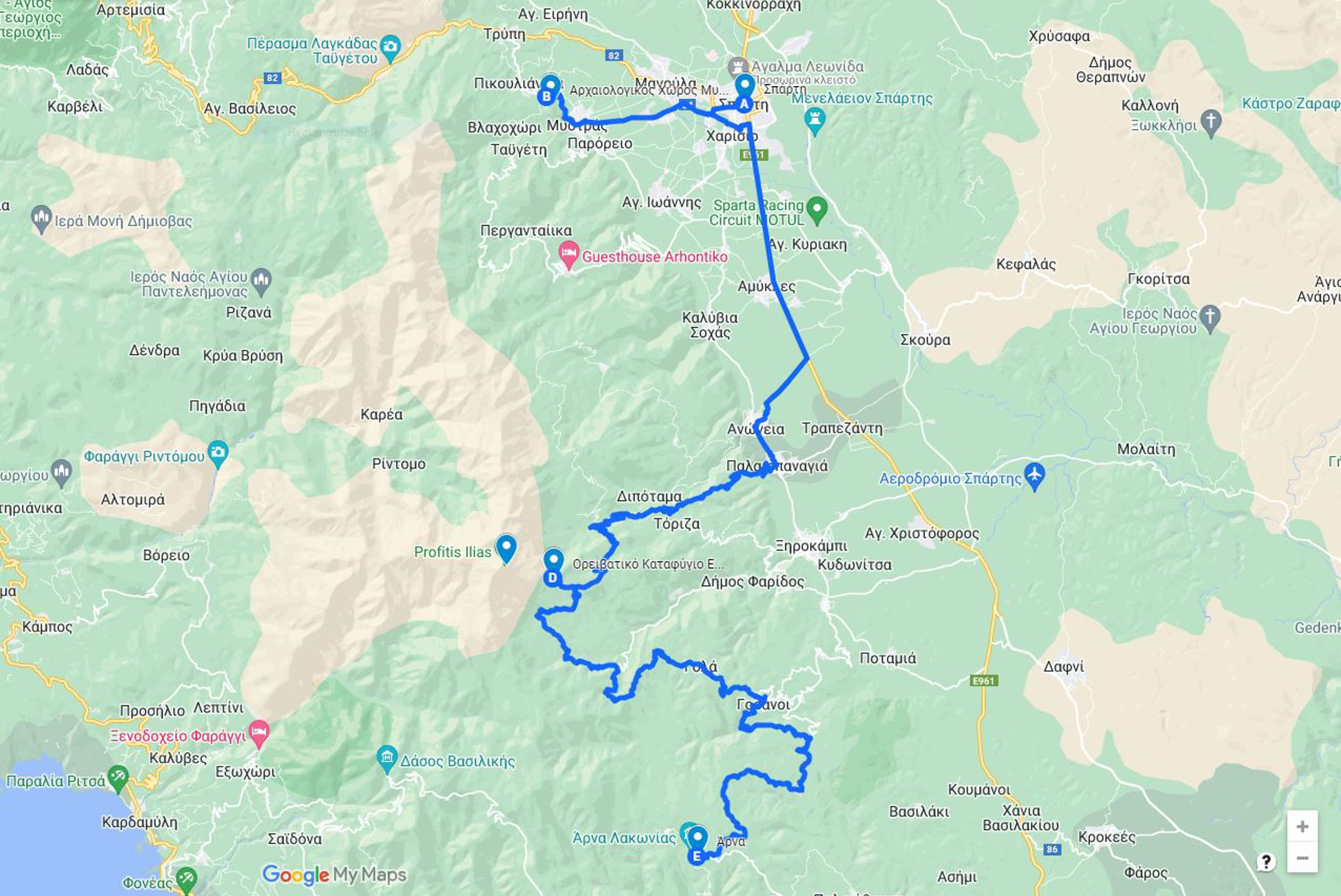
Inside the citadel, the dense network of cobblestone streets makes it impractical to follow detailed route instructions however on average and based on our gpx route

  • 4 km to Citadel, plus 2.7km downhill path (with direct return to the site entrance)
  • 2 hours uphill, plus 1 hour downhill (excluding the time stopped in monuments)

Mystras – Anavryti

Hike from Mystras village, following E4 trail to the Cave and chapel of Lagkadiotissa. Continue uphill through the namesake gorge, towards Faneromeni monastery and finish at the mountainous picturesque village of Anavryti.

Lagkadiotissa gorge starts from Parori village, on the foot of Mount Taygetos, and although short, has some pretty dramatic landscape. The path inside the gorge is set on top  of a concrete water-pipe, for a large part of the hike. Inside the gorge is the location of Panagia Lagkadiotissa Cave, that holds the namesake 13th century Chapel. This is the place where Constantinos Palaiologos, the last emperor of the Byzantine Empire, attended the mass for the last time before leaving for his historical trip to Constantinople, to defend the empire’s capital during the 1453 siege by the Ottomans. For this reason, locals still paint the chapel deep red, which was the color of the Byzantine emperors. Continuing up the valley, we end up in Faneromeni Monastery, built in 19th century.

Anavryti or Anavriti (greek: Αναβρυτή) is a small village in Laconia, on Taygetus mountain, altitude 850m. Above the Evrotas valley, Anavryti is traversed by European walking route E4. It is part of the municipal unit of Mystras.  A paved road to Anavryti was built in the 1980s with donations sent by the Anavryti Hometown society in Astoria, Queens, New York. Until that time, the village could only be accessed on foot or by donkey. During World War II Nazi occupation, forces made the steep climb up to the village to destroy the houses of suspected partisans.

  • Distance / Time: 8.7 km / 3.5 hours
  • Ascent / Descent: 630m / 116m
  • Min / Max Altitude: 279m / 825m
  • Grade:Easy (with some narrow path sections)
  • Terrain:Paved asphalt road, dirt road, cobblestone path, dirt path, Concrete path

Anavriti – EOS Refuge

After breakfast depart on a 5-hour hike (approximately) from Anavriti village, uphill towards Lakkomata spring. Traverse of the Alpine zone on the east face of Mt Taygetos, towards to the refuge of the Hellenic Mountaineering Association of Sparti. The path passes through cultivated areas as well as through fir and pine forests. It is a route of great beauty.

  • Distance / Time: 12.3 km / 5 hours
  • Ascent / Descent: 1100m / 400m
  • Min / Max Altitude: 787m / 1556m
  • Grade:Moderate. A tiring initial climb is followed by an easier traverse.
  • Terrain: Paved dirt road, dirt path

Overnight on EOS Mountain Refuge in shared dorms / berths.

EOS Refuge – Mt Taygetos Summit

Today, enjoy a  2½ – 3 ascend up to the peak of Mt. Taygetus.

The peak is renowned for its pyramid shape and its unique views. The view from the top includes most of the Evrotas valley and the Parnon range to the East, while the view towards the West includes Kalamata and the eastern half of Messenia. Most of the southwestern part of Arcadia can also be seen from the summit. The route is initially on a forested ground of Greek fir and black pine and then continues on the alpine zone with no trees. Return to the shelter (another 2½ – 3 hrs).

  • Distance / Time: 5.3 km / 5 hours
  • Ascent / Descent: 860m / 10m
  • Min / Max Altitude: 1550m / 2407m
  • Grade:Moderate. Clouds usually cover summit after noon.
  • Terrain: Paved dirt road, dirt path, rocky path.

Overnight on EOS Mountain Refuge in shared dorms / berths.

EOS Refuge – Arna Village

Today we will hike in the most popular antiquate passage of the region, the famous “royal road” that connected Sparta and Arkina (an ancient city lost in the woods between the villages of Spartia and Gola) with Messinia. The road passed by the magnificent Vasiliki Forest that preserves today the name of the ancient road (Vasiliki means royal). End of the tour after arrival in Arna village.

  • Distance / Time: 15.5 km / 7 hours
  • Ascent / Descent: 610m / 950m
  • Min / Max Altitude: 767m / 1572m
  • Grade:Moderate. Includes a short but tiring uphill section, early in the day.
  • Terrain: Paved concrete road, Paved dirt road, dirt path, rocky path

Important Info

In a glance

CURRENCY
euro (€)
TIMEZONE
UTC+02:00 (EET)

Highlights

Mount Taygetus (in Greek: Taygetos), is named after Tayget, daughter of the Greek god Atlas. It extends about 40 km and measures 2,407 meters at its highest point, dominating the view in Sparta (in Greek: Sparti) and Kalamata. Taygetus is heavily forested, primarily with Greek fir (Abies cephallonica) and black pine (Pinus nigra). The slopes of Taygetus have been inhabited since at least Mycenean times. The site of Arkina, near the village of Arna, contains three beehive tombs and is still unexplored. Taygetus was important as one of Sparta’s natural defenses. During the era of barbarian invasions, Taygetus served as a shelter for the native population. Many of the villages in its slopes date from this period. In Medieval times, the citadel and monastery of Mystras was built on the steep slopes, and became a center of Byzantine civilization and served as the capital of the Despotate of the Morea. Today is a UNESCO World Heritage Site. Today, the mountain is closely associated with the Holy Prophet Elias, and every year on the 20th of July (the Greek Orthodox name day for the Prophet Elias), the small chapel at the peak holds a large festival, including a massive bonfire.

Price

Price per person on Self Guided mode:

  • 520€ for min 6 participants
  • 570€ for min 5 participants
  • 610€ for min 4 participants
  • 730€ for min 3 participants
  • 885€ for min 2 participants


Price per person on Fully Guided mode:

  • 900€ for min 6 participants
  • 1040€ for min 5 participants
  • 1240€ for min 4 participants
  • 1580€ for min 3 participants
  • 2030€ for min 2 participants
  • 3990€ for 1 participant

Fixed Departures

2024

  • April 22-26 (Fully booked)
  • May 20-24 (Fully booked)
  • June 24-28 (Fully booked)
  • September 23-27
  • October 21-25 (Fully booked)

General Information

Our E4 Trail Mt.Taygetus Self Guided can be combined with our very popular self guided Menalon Trail Hike in the Peloponnese. We are also soon introducing parts of the E4 trail in the region of Kalavryta. Are you a hiking enthusiast ? check our numerous hikes in the Greek mainland and Islands as well !

Equipment

Please consider taking along the following items on your trip. This is not a fixed list, but more of a guideline, so feel free to add and remove items as you see fit.
Greece has a temperate climate. Base your clothing on the “layering system”, if it is hot you can “peel off” layers quickly, if it is cooler and windy you can quickly “dress up”.

Luggage

  • Duffel bag or rolling luggage
  • Day pack to carry a camera, water bottle, and snacks, etc.
  • Luggage locks and tags

Outerwear

  • Mid-weight polar fleece sweater
  • Rain jacket and rain pants, or poncho

Clothing

  • Hiking shorts
  • Casual clothing made of light-weight fabrics
  • T-shirts
  • Long-sleeve shirt
  • Comfortable hiking pants
  • Underwear
  • Swimsuit

Clothing Accessories

  • Sun hat or baseball cap

Footwear

  • Lightweight and supportive hiking boots, broken-in with good ankle support
  • Beach sandals
  • Casual, comfortable shoes for evening

Accessories

  • Sunscreen and lip protection
  • Sunglasses and retainer strap
  • Beach towel

Optional Accessories

  • Security pouch or money belt
  • Trekking poles or walking staff
  • Camera, memory, and batteries
  • Reading and writing materials
  • Watch with alarm or travel alarm
  • Travel pillow
  • Motion sickness remedies
  • Personal first-aid kit
  • Insect repellent (low risk)
  • Electrical adapter plug/converter
  • Your own personal water bottle. As part of our environmental policy and actions, we are committed to eliminating the use of plastic water bottles.

The lighter you travel, the easier you travel. Use your best judgment and pack as lightly as possible. You will appreciate light luggage towards the end of your trip.

E4 Trail Mt.Taygetus, 23-27 September 2024

... conquer the highest mountain range in the Peloponnese

Price from €520

BOOK NOW

FAQs

What should I bring with me?

  • What is listed above in Equipment section

What's the meeting point & time?

Meeting Point: Your hotel in Mystras

Time: TBA

You may also be interested

Be the first to know about Trekking Hellas updates! Sign up for our newsletter.

By registering I automatically agree to the Terms of Use.